
Colorado 2009

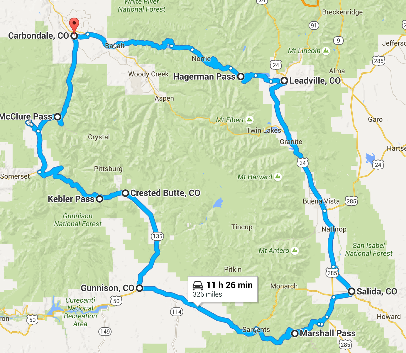
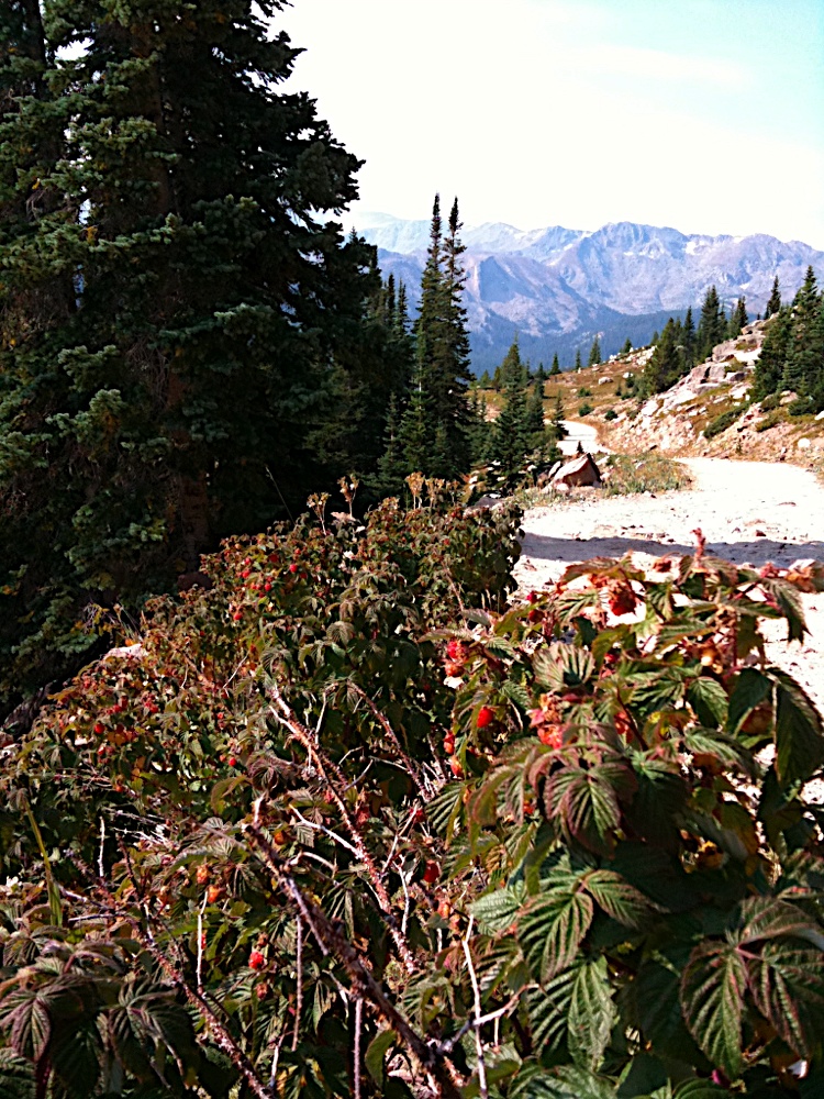
Carbondale to Carbondale via five passes on dirt roads whenever possible.

Start Date
Number of Days
9
Total miles
390

Andy dreaned up a great ride for us following a loop from Carbondale to Carbondale over 5 mountain passes on dirt roads wherever possible.

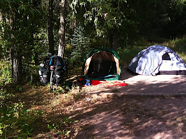
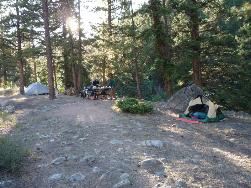
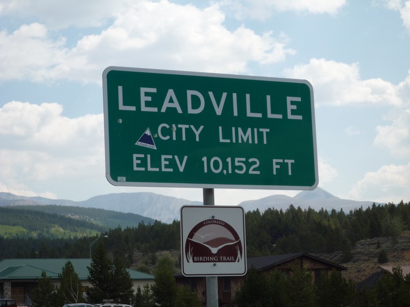
It was a 2 day drive for Paul R. and I to get to Sharon's house in Carbondale. We did an easy ride on the bike path the next day to give us a chance to acclimate to the elevation. Carbondale is at 7,000'. Then each day we climbed a higher and higher pass until we got to Hagerman Pass at just under 12,000'.

I had some trepidation about the altitude as I had hyperventilated on a bike ride up Steens Mountain at 9,000'. I was now in much better shape and had no problems on this ride.

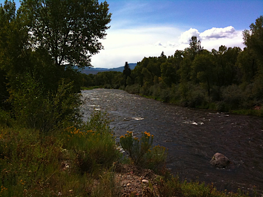
We had great weather throughout with only one afternoon thunderstorm. Of course it was cool at the higher elevations. The end of August is already early fall in the mountains of Colorado.

This tour really pushed my limits and greatly expanded the possibilities for me. I also learned a lot from Andy on all things related to bike touring.

Ready to ride

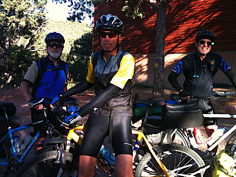
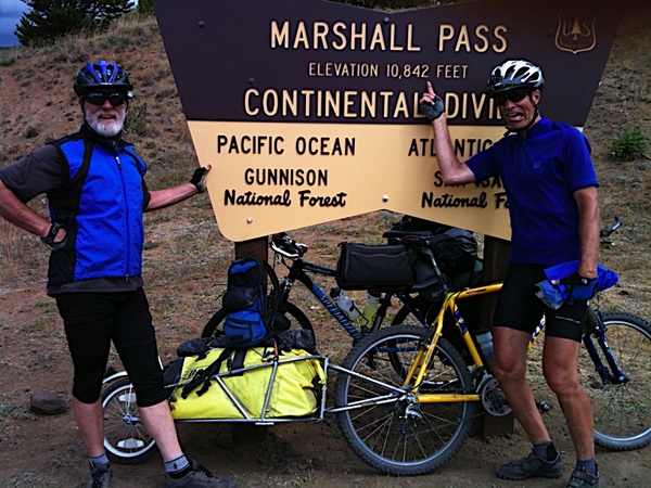
Me, Paul R., and Andy loaded up and ready to head out.

The complete photo album is on Google Pictures.

Mileage
390
Image
Colorado Tour Map

Rides

Route Date Miles Bike Buddies Notes
Colorado - Rio Grande bike path 45 Rock Hopper Andy, Paul, Sharon

Tuesday - Day ride. Rio Grande rail trail. 45 miles Carbondale to Woody Creek and back. A warm up ride.

Woody Creek

Carbondale - McClure Pass - Erickson Spings 50 Rock Hopper Andy, Paul, Sharon

Wednesday - Carbondale - McClure Pass - Panonia Reservoir - Erickson Spings campground on Anthricite creek.

Let the climbing begin! And so it was. Breathtaking views, as if I had much breath with all the climbing. But of course there is always the other side, and a nice fast downhill.

The route was highway 133 from Carbondale to the Panonia Reservoir. After stopping for a break at the Panonia Reservoir we turned off the highway and headed up to the Erickson Springs campground on the Anthricite river.

First campsite

Erickson Springs - Kebler Pass - Taylor River 45 Rock Hopper Andy, Paul, Sharon

Thursday - Kebler Pass (10,000') - Crested Butte - Taylor river.

At 10,000 feet Kebler pass was my first big challenge. We continued on the dirt road from the campground. As we approached the pass we encountered fresh gravel in the road. At two miles from the top they were laying fresh chip-seal. It was a mess but the last half mile to the top was clear.

After Kebler Pass we had a choice of going over Ohio pass and down Ohio creek but we opted to go to Crested Butte.

We took the highway from Crested Butte down some miles before cutting across the hills to the Taylor River. The campground had the river on one side and steep cliffs on the other.

Campsite at Taylor River

Taylor River to Gunnison 20 Rock Hopper Andy, Paul

Friday - Gunnison 20 miles. KOA

Rest day. From the Taylor river it was a short downhill to Gunnison. Paul had a broken spoke so we dropped his bike off at a shop and had lunch at a local place. Then on to the KOA for showers, laundry, and a nice grassy campsite.

Gunnison - Cochecote hills - Sargents 45 Rock Hopper Andy, Paul, Sharon

Saturday - Cochecote hills to Sargents. Tomichi Creek RV park.

From Gunnison we met back up with Sharon and rode out in the Cochecote hills. This was all open barren land. The sky was cool. We then rode to Sargents and stayed in a small cabin at the Tomichi Creek RV Park.

It was there that we met Matt and Gracie who were riding unicycles for the length of the continental divide. They have a website at http://divideby1.com.

Sargents - Marshall Pass - Ohaver Lake 29 Rock Hopper Andy, Paul, Sharon

Sunday. Dirt road at 4% railroad grade. Loose and rocky at times. Pass is 10,842'

We turned right at Sargents and headed up a dirt road at a 4% railroad grade. Started out great but we then got into some loose and rocky stuff. It had just been graded.

It was threatening rain at the top. There were a bunch of mountain bikers doing a fund raiser ride. We ducked under the outhouse shelter for a few minutes but then headed on down.

The campground was at Ohaver lake at 9,200'. It rained several times that evening and I had to take shelter in my tent. Fortunately it didn't leak and everything stayed dry.

Marshall Pass
Each new pass marks a new elevation high for me.

Ohaver Lake
Probably our most scenic campsite.

Campfire
Sharon and I were both into campfires, Andy not so much. I gathered a bunch of dry pine from up above the lake.

Ohaver Lake - Salida - Railroad Bridge 50 Rock Hopper Andy, Paul

Downhill for 15 miles from the pass to Salida. We rode by Andy's house and did some site seeing and had a snack at Bongo Bill's. We stopped at a bike shop where Andy got his "peace" socks.


From Salida we rode to Buena Vista. On the way Paul broke another spoke and I somehow messed up my from derailleur. We went to the Trailhead bike shop for repairs. The mechanic there was really good and had us fixed up in no time. After that and a stop to look at the river and a trail, it was on to the Eddyline Brew Pub for lunch.dinner. Very good!

We took a dirt road out of Buena Vista that followed the Arkansas through some nice canyons and through these tunnels.

Our campground was at the Railroad Bridge on the abandoned Rio Grande tracks right on the Arkansas River. This section of the river is the take-out point for people running "the numbers", some class IV-VI rapids.

The Arkansas river
We followed the Arkansas river valley from Salida to Leadville.

Railroad Bridge - Leadville - Turquoise Lake 38 Rock Hopper Andy, Paul

From Railroad Bridge we got back on the highway and ran into three tourers from Boulder who were also headed for Leadville. We played leapfrog with them all day. We stopped for water at Granite but the town was shut down. Scott was carrying extra and gave us some.

The view today was dominated by the Collegiate Peaks, fifteen 14,000+ foot mountains that form a chain to the west of the Arkansas valley. Very impressive.

The upper Arkansas valley was in an obvious state of decline from it's heyday when there were many mines operating. The last mine shutdown in Leadville in 1999. We passes many boarded up buildings and whole towns that looked like little more than ghost towns. There was a healthy effort to fill the gap with tourism, mostly river rafting, especially in Buena Vista, but beyond that not much. Leadville does attract some tourists and had a revitalized downtown, but you could tell it was a struggle. They do host an awesome mountain bike race each year.

Once we got into Lake County the nice wide shoulder disappeared and some trucks buzzed by pretty close. It was gray and chilly when we got to Leadvile. Leadville claims to be the highest incorporated town in the US at over 10,000'. We ate at Doc Holiday's which was just what you'd expect it to be. Good food as well. From there we went to the town welcome center to look at maps before heading out to the campground. On the way out we passed some old Victorian houses that were being painted with bright colors. The town is trying hard not to fade away.

It was mostly downhill to the May Queen campground on Turquoise Lake. Very few campers as it was already getting cool. Here it was September first and summer was over, the campgrounds were shutting down, and the tourists going home. I'm glad we have such a long fall here in Oregon.

Leadville

Turquoise Lake - Hagerman Pass - Carbondale 68 Rock Hopper Andy, Paul

Today was the big one. The highest pass we did, 11,925'. Very steep and rocky at the top. Had to push a lot. Then a long decent down the Frying Pan river to Basalt and on to Carbondale.

Of course we saved the highest pass, and the longest ride, for the last day. From the lake it was easy railroad grade for a few miles with great views of the mountains. Then the road went to hell and it got steep and rocky. At one point I just sat down at the side of the road, and to my delight there were a bunch of wild raspberries. I just sat there and feasted for a while.

Wild Raspberries
Wild Raspberries.

When we got near the top the road turned to sand. At this point all I could do was push. It did flatten out just enough to get back on the bike and ride to the summit. What a rush to have ridden up to just shy of 12,000'.

The road down was very rocky for the first few miles and we had to go slow and get off a lot. It gradually got better and we picked up speed for the long decent into the Frying Pan river valley. I didn't get any pictures but the Frying Pan runs through a red rock canyon with enough green trees to make it really spectacular. It comes out a Basalt where it joins the Roaring Fork. We stopped in Basalt for a quick snack.

From there we got on the Rio Grande bike path for the last 12 miles to Carbondale. Then came the final grunt up the hill to Sharon's house. 345 miles back to where we started.

So that was it. My first big self supported tour. Our first bikepacking trip, well before it was called bikepacking. We crossed the continental divide twice, on rugged dirt roads, had an amazing adventure, saw no bears, and had a great taste of Colorado. I was hooked.