Northern Washington 2013

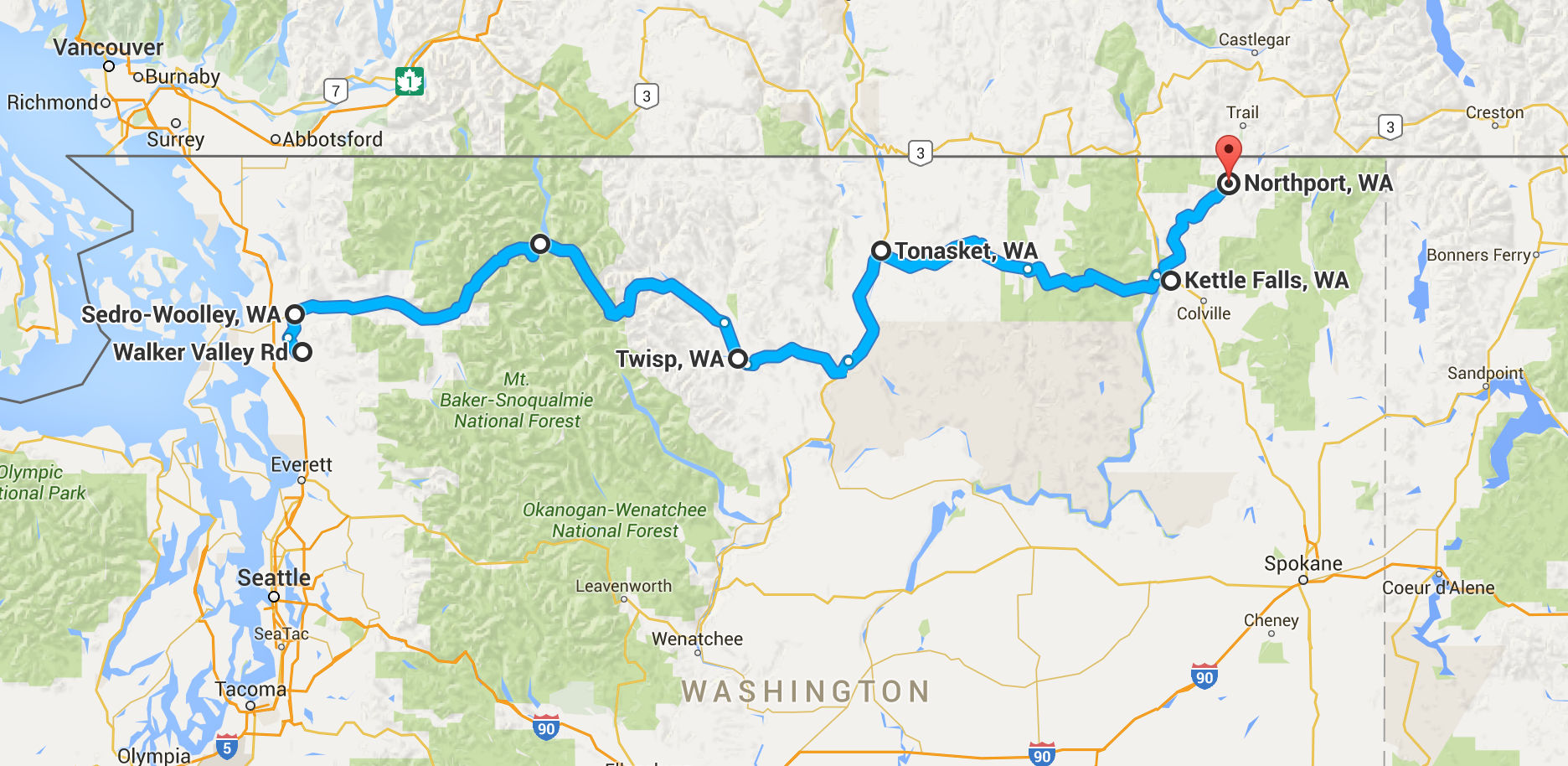
West to East across Northern Washington on State Highway 20, including North Cascades Highway.

Start Date
Number of Days
7
Total miles
354

I left a gathering of friends at Walker Creek and started riding up highway 9 towards Sedro-Woolley. From there I followed the ACA Northern Tier, which mostly takes state road 20 across the North Cascades and on into eastern Washington over five mountain passes. On the way it passes through the Methow valley, the Okanogan Valley, and the Okanogan higlands, and through the towns of Rockport, Winthrop, Twisp, Tonasket, and Kettle Falls, among others.

Mountain Passes on this route

  • Day 3 - Rainy Pass - 4855'
  • Day 3 - Washington Pass - 5477'
  • Day 4 - Loup Loup Pass - 4020'
  • Day 6 - Wouconda Pass - 4310'
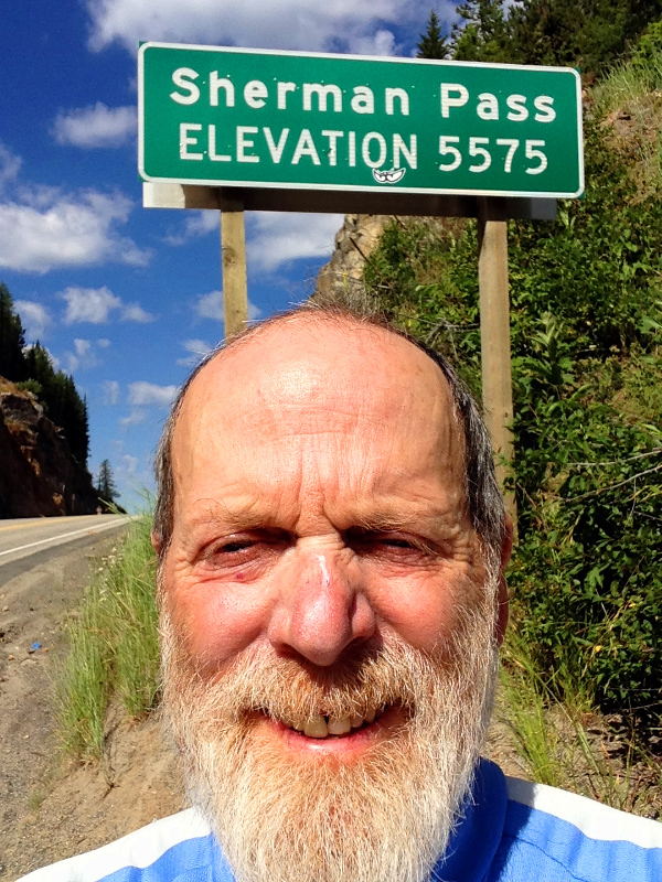
  • Day 7 - Sherman Pass - 5575'

Considering that the start of the ride was at sea level, and the Okanogan valley down under 1000`, you could say I did a lot of climbing on this ride.

From Kettle Falls I left the ACA route and followed the Columbia north almost to the Canadian border. I visited with my friends in China Bend for a few days and then rode the 30 miles back to Kettle Falls where I took a bus to the Amtrak station in Spokane. The trip home was not pleasant but it had been a great tour.
Mileage
354
Image
Northern Washington Tour Map

Rides

Route Notes
Walker Creek to Rockport
54 miles
Soma Saga

Got an early start, out by 7:15. Low clouds and cool. Second breakfast in Sedro Woolley. The route takes the South Skagit highway to Concrete. Nice low traffic road but there was some road work going on and a bunch of gravel trucks. The Skagit River is quite a bit bigger than the Willamette and a lovely aqua green color. Also very fast moving.

Not much in Concrete, even less in Rockport except for Steelhead County park which is very nice. Got a shower and setup my tent on the bank of the river. I could easily have gone much further today but this is a really nice spot and I saw no need to push it. Tomorrow the real climbing begins although I probably won't do the big passes until the day after.

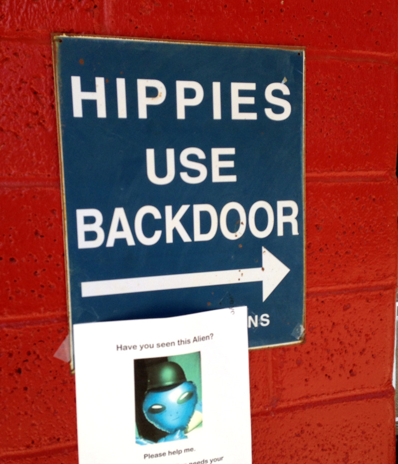
Hippie sign

A friendly welcome sign at the tavern in Rockport. The bikers (the other kind) at the bar looked alot more like hippies than me.

Rockport to Colonial Creek
40 miles
Soma Saga

Got out by 7:50. The sun was already shining and it was warming up quickly. The ride to Marblemount was on a very quiet back road. Very pleasant. Had to beg for wi-fi at the Buffalo Inn so I could text Linda.

After Marblemount the road got narrower and more uphill and soon entered the NP. It would have been nice except for the power lines. Newhalem a.k.a. Seattle City of Light is home to a huge hydro electric plant and the people who work there. It's actually quite nice with lots of trees and a park. After this the road got steeper, and the sun got hotter. There was a tunnel on the uphill but thankfully no cars passed me. After the tunnel the shoulder got pretty narrow and there were a few trucks but no problems. Definitely having trouble holding a line at low speed. I will try and shift more weight to the back for tomorrow's big climbs.

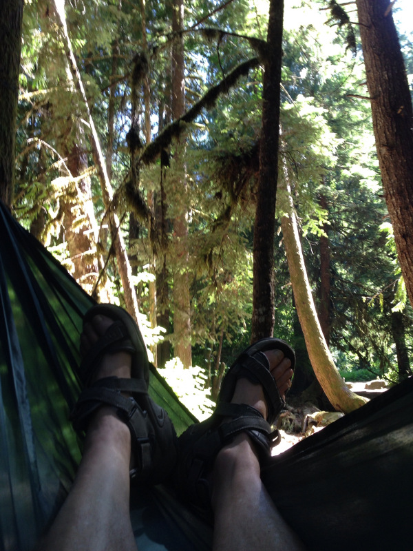
Resting in my hammock

When I'm not riding I'm enjoying the view from my hammock.

Met Tom and Chris from Colorado and David and Bernie from England, both of whom are doing the Sierra-Cascades route.

Colonial Creek to Barn Bicycle Camping
60 miles
Soma Saga

This was the big day over Rainy and Washington Passes. The climb started right away but then eased up for a while. Now that I was past the hydro-electric stuff the scenery was much more beautiful.

It was a long slow climb. It never looked steep, but all I could manage was about 4 mph. One of these days I will get smart and learn to not carry so much. I found my self stopping to cool off about every 15 minutes for the last couple of miles.

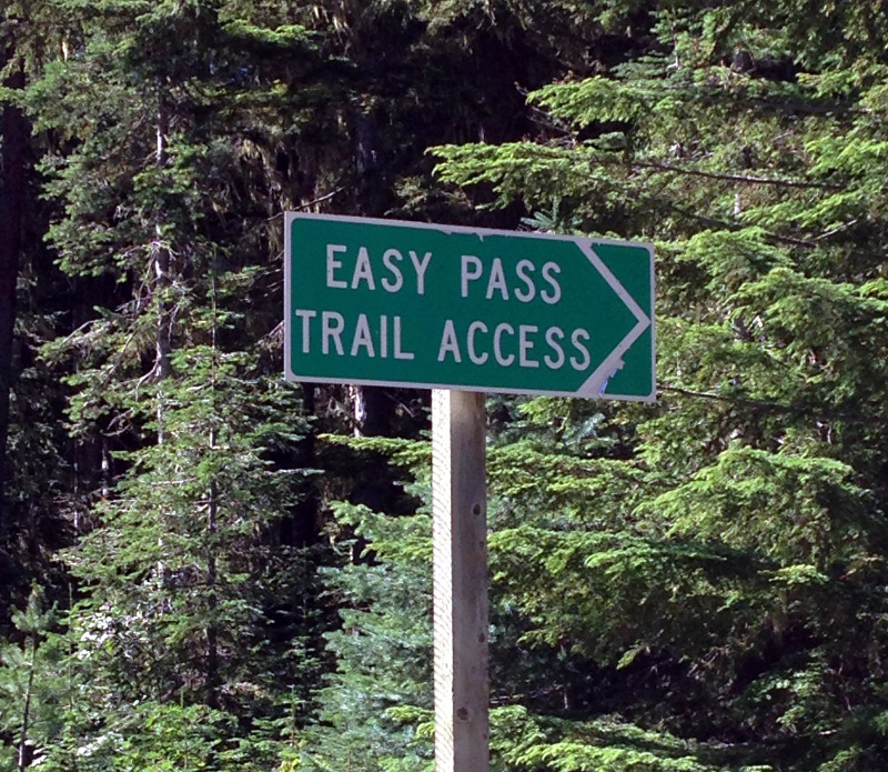
Easy Pass
This sign gave me hope although it didn't feel that easy to me.

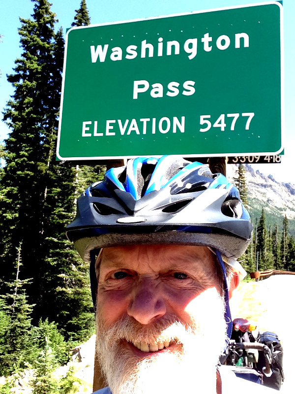
At the top of Washington Pass
One happy bike tourist at the top of Washington Pass. This wasn't the highest pass I had to do on this trip, but I had made it over the Cascades, with a long downhill ahead of me.

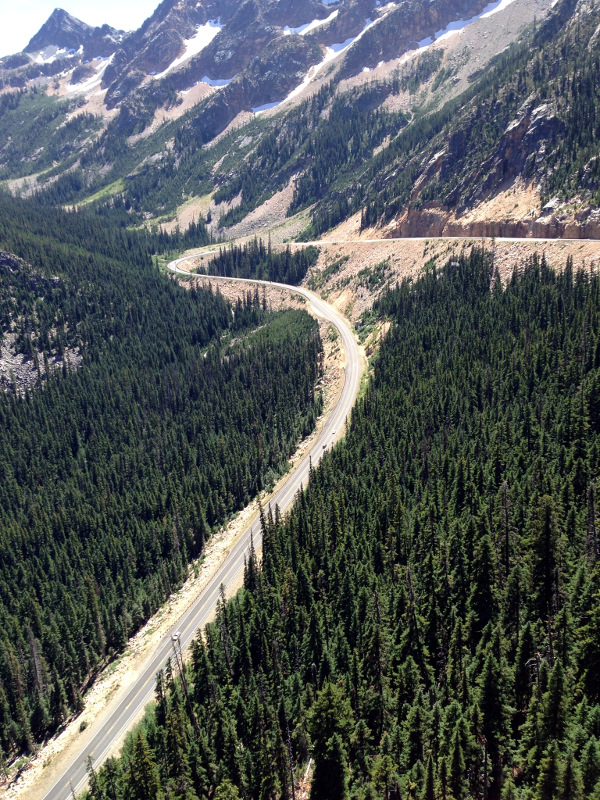
Going down Washington Pass
Quite spectacular. Things changed immediately once over the top. The woods changed to the much drier pine forests typical of Eastern Washington, and it got much hotter.

It was a long way down but eventually got to the little oasis of Mazama. There was a very modern store with really good food and just about everything else. I hung out for quite a while alternating from the shade of their patio to the cool of their air conditioned store.

At the base of the mountains, at the start of the Methow Valley, is a little town called Mazama, which has a wonderful store which was like an oasis as it was now quite hot. The make and sell a lot of great food including these energy balls which powered me over the next three passes that were yet to come.

It was less than 10 miles from Mazama to Barn Bicycle Camping. I was surprised to find I was the only one there. What a great place! Greg and Jan thought of everything. A solar shower, with gas assisted backup, a composting toilet, a refrigerator, and wi-fi. Interestingly I was also in AT&T range for the first time in a few days. It might have been perfect were it not for the heat. As it was I did not sleep well. I set my alarm for 5 but it felt like I had just gotten to sleep. I still managed to be on the road by 6:15. In the cool of the morning the Methow valley was quite lovely.

Night three was at Barn Bicycle Camping. A great place with a solar shower, good water, a little shade, and wi-fi. Check them out on Facebook https://www.facebook.com/BarnBicycleCamping . Here I am with with Jan Gregg who, along with her husband, provide this great service for cycle tourists.

Barn Bicycle Camping to Omak
60 miles
Soma Saga

The early morning ride down the Methow valley was quite nice. The town of Winthrop is all decked out in old west attire, touristy, but nice. I got there just as the store was opening hoping to get some oranges but there were none to be had. So it was on to Twisp by a nice back road. A nice thing about this route as opposed to the TransAm is that it takes more low traffic back roads.

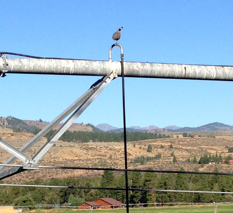
Quail on a pipe
I liked this quail sitting on the irrigation pipe.

At Twisp I got some groceries and headed towards Loup Loup pass. I felt like I had bonked the day before on the Cascade passes so I made sure I was well fueled and had some high energy foods on hand. Shortly after the start of the climb I ran into my first trail angel of the trip. Michael was on his riding lawn mower when he stopped and offered me ice water. There was a small cooler with frozen water bottles that his wife Marilyn puts out everyday for cyclists heading up the pass. The ice was really solid. I just kept pouring in my water and had ice water to drink, and pour one, all the way up the pass and on in to Okanogen

It was nice to be up in the woods again. There was plenty of shade and the climb was not nearly as hard as the day before.

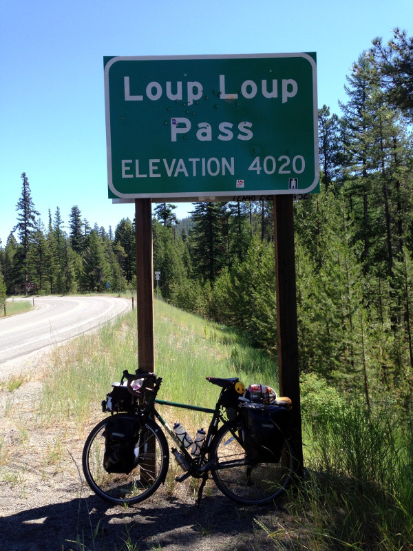
Loup Loup Pass
No idea where this name comes from.

Once again things changed radically on the east side. The last trees were the scarred remains of a recent fire, and soon it was nothing but open sage brush. Even some of that was burned, possibly on purpose. It was hot, barren, and ugly. Soon there were orchards but these were all covered in bird netting and didn't really help the landscape. As I was entering Okanogen a fellow waved me to stop. Turns out he just got back from doing the TransAm in some ridiculous short time. There wasn't much in Okanogen. I went to the Legion park to take a break and eat. The allow camping there with showers for six dollars. It would have been an okay option if it wasn't so hot. As it was I made it to Omak and got a motel room. Time to chill out in front of the air conditioner and get a good night sleep.

Omak to Tonasket
30 miles
Soma Saga

It was too far, and too hot, to consider pushing on to Wauconda pass today so I took a short day and spent it in Tonasket. Met Wes and Shawn from Detroit who are doing Portland to Portland. Wes just retired and didn't waste any time getting out on tour.

Tonasket has a nice feel about. There was a big influx of hippies to this area in the 1970's and you can see the influence in the conservation and land and wildlife protection that is big here.

I tried to pass the day by hanging out at the co-op and then the library, but the heat would not relent. It was 104 at 6:00, so I gave in and got a motel room. It had the best air conditioner ever and I was able to get a good night sleep and get going early again.

Tonasket to Republic
45 miles
Soma Saga

Got on the road by 5:00, a new record for me. The road started climbing right away. It follows Bonaparte Creek up a steep canyon. Pretty soon it was quite green. The couple I talked to in Tonasket said the road to Wauconda had no trees, so I was glad to see more and more pines the higher I got. Indeed soon I was in a mixed forest of pine, for, and tamarack. My spirits were greatly improved. I'm just not a fan of barren landscapes.


I got to Wauconda before the store opened at 9 so I kept going. It was only a couple more miles to the pass. I ran into a group of cycle tourists heading west. Didn't get any names but one was from Argentina and one was from Oregon.

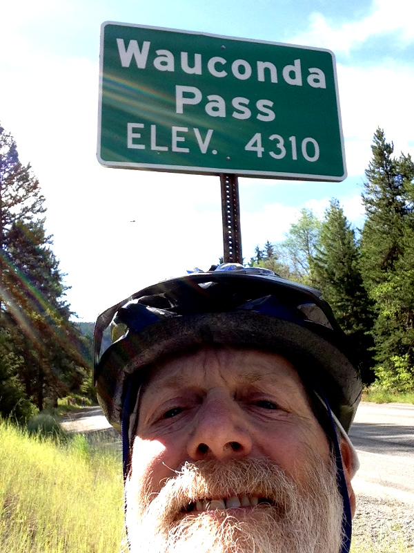
Wauconda Pass

I was concerned that the east side would turn dry and barren again, but to my delight the forest was even more lush and green. There was also very little traffic. I finally started to feel like I had gotten away from the world and things were starting to slow down.

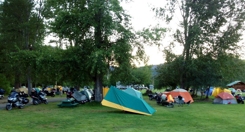
Republic is at the bottom of a big V between Wauconda and Sherman passes. I thought about pushing on as it was not going to be nearly as hot today, but found a nice place to camp at the Ferry County fairground along with a couple of hundred BMW motorcycle enthusiasts who are having a big rally here. They even have a band tonight which I hope doesn't keep me up too late.

Camping with the motorcycle club

Tomorrow is the big on Sherman pass, the highest pass in the state.

Republic to China Bend
65 miles
Soma Saga

The climb starts immediately when leaving the Ferry County fairground and stays at a very steady 6% for the 15 miles to Sherman Pass. It was nicely wooded the whole way until I got to the area burned in the White Mountain forest fire of 1988. Still lots of dead trees standing but much of the area had very healthy looking re-growth.

Sherman Pass

Made it over the last pass. It was actually a bit cool on top so I didn't hang out long. It was a nice long downhill pretty much to the Columbia River. There I left the ACA route and headed north on 395 for a few miles before turning onto Northport Flat Creek road. The turn off was right where the Kettle River hits the Columbia or Lake Roosevelt as the flooded area behind the Grand Coulee Dam is called.

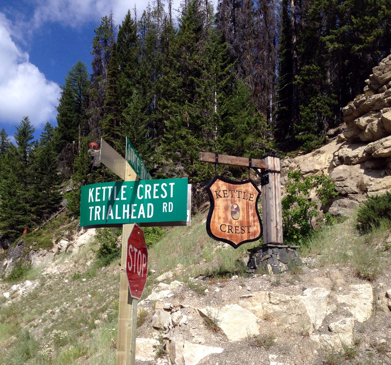
Kettle Trailhead

By now the clouds had rolled in keeping it a bit cooler which was a good thing because the short climb from the Kettle River to the shelf above the river that the road followed was steeper than any of the passes I went over. Once up off the river the road just rolls for about 5 miles before dropping back down to Snag Cove boat launch and campground. I couldn't resist stopping for a quick swim.

I visited with my friends in China Bend for a few days and then rode the 30 miles back to Kettle Falls where I took a bus to the Amtrak station in Spokane. The trip home was not pleasant but it had been a great tour.